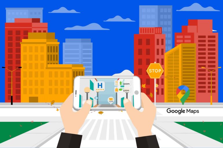
Google Maps & Augmented Reality; A Combination Worth Billions!
Google Maps might end the ‘local guide’ business – with its explicit features and amazing immersive experiences. With the support of 40 languages and extraction of 220+ billion images for Street View, Google Maps helps people track the pulse of the world in a better way, each day.
Imagine the vast coverage of Google Maps, as it powers more than 1 billion KM worth of travel in 220 countries per day. Google Maps is a godsend for local businesses, and international tourists simultaneously.
This is great, but why does Google Maps generate $11.1 billion in revenue? What does it do – that makes people download it immediately – as soon as they enter a new city?
This blog navigates through Google Maps immersive features. It also highlights the potency of augmented reality in making Google Maps interesting & more usable!
Google Maps Immersive View
Being in an unknown city meant roaming around the city and disturbing people on the road – asking where the nearest ATM is or where the closest restaurants are. Now, Google Maps has changed the way travelers scan a city.
Google launched Street View in 2007, and since then it has captured billions of images of streets around the world. With feature-rich aerial images, Google Maps creates a virtual and realistic model of the place digitally. You can even know the weather statistics, traffic, and how busy that place is at any given moment.
Moreover, Google Maps is not only limited to navigating outdoors, but it also gives you an aerial view of the interior of a place. These true-life scenes are a masterstroke from Google Maps – because they boost the digital presence of a restaurant without having to spend a penny.
There is a method called neural radiance fields (NeRF), which is an advanced AI tactic & transforms ordinary scenes into 3D presentations. With NeRF, you can mimic the aesthetic and interior of a realistic place, including its lighting, materials & background feel.
People do not need to rely just on Google reviews anymore, they can check a place out with this method in no time! All these features by Google Maps allow you to experience the vibe of a place – before you reach there.
Google Maps has implemented augmented reality services expertly for people to scout destinations & explore landmarks. You can create more informed itineraries; with all you need to know about a place – on your phone!
How to use Google Maps’ Immersive View?
(Source: Google Blog)
Using Google Maps for yourself is pretty easy, follow these simple steps!
- Start your route in Google Maps as you normally would.
- There would be an immersive view window in the screen’s bottom left corner, along with a street view window.
- For a realistic view of the buildings, click on the immersive view window, and you are now getting a realistic view of the surroundings around you.
- There is a time slider too, which can help you plan your journey based on simulated traffic and weather conditions. Be prepared for all and any unfavorable situations along the way!
With an immersive view, you can quickly scan for ATMs or if a place is busy enough at a particular point of the day. The live view feature is a big hit in cities like London, New York, Paris, San Francisco, and Tokyo.
Your surroundings become your best friend – with Google Maps. Move your phone around to understand more about each place scanned through Google Maps.
These augmented reality features can lend you a guiding hand when exploring complicated places. AR-pointed arrows can help you find the closest restrooms, taxi stands, EV charging stations, and more with ease.
How did Google Integrate Augmented Reality into Google Maps?
Google Maps themselves can become an AR company leader; with the AR expertise they have shown with their product. Encapsulating the earth’s most complicated cities into a phone – with 100% realistic visuals is not an easy job. But Google changed the face of Internet search before, and they did it again with Google Maps!
Gathering billions of Images & enhancing them with 2D imagery
For Google Maps to be this realistic, billions of high-resolution images are required. These images are brought in through plans, street view cars, or trekkers. To match them with the view we have today – some processes are like the world’s biggest jigsaw puzzle – billions of pieces to piece together. All this imagery also needs to match with the existing Google Maps data.
This match is what fits the roads, business names on each road, and street names fit into a symphony for all Google Maps users. Google Maps uses evolved photogrammetry processes for aligning images and data within kilometers or centimeters.
Use Machine learning for extracting information & labeling information
Okay, we get the images, but how does Google know exactly what is in them? They use AI and computer vision for that. Their machine-learning models can comprehend elements of a photo. Whether it is a speed sign, a speed breaker, road names, or nearby shops – these models are trained on millions of photos from around the world.
There can be speed signs of different colors and sizes – but they adapt to each imagery. The understanding of these elements is crucial for providing you with a general vicinity. You would not need to travel around the block just to check what is there.
Transform 2D imagery to 3D versions
When all’s in place, google then reconstructs the world in 3D. All is possible with 3D, but real modeling of the rocky terrains and building heights is hard. They have aerial camera systems through which they use imagery – much like 3D cameras in Hollywood films. Different directions can be covered from multiple viewpoints and accurately understood in depth. The advanced photogrammetry tactics help with placing the 3D models over 2D models immaculately.
Creating a realistic route, adding information & combining it all
3D models are done, but how would you know how to navigate? One of the greatest troubles is aligning the immersive view with real-world information. Google includes a lot of intricate camera zooms and tilts for showcasing the aerial overview of a whole road, city, or area. To ensure that this dynamic movement is not blemished, they use a mathematical construct which is a b-spline curve to create a smooth path for the camera. They partner with Google Research to predict traffic trends and simulate your route with animated data for the same. Bringing it all together, you now have the majestic route view for Google Maps.
Wrapping up,
Live View came into the picture in 2019, and since then has been creating waves for people around the globe. It is a new sense of direction – and it is integrated with Augmented reality – and is like the feather on the hat!
Google Maps is a live example of what Augmented Reality can do if smartly used with your brand vision. Are you interested to know more? If yes, Contact us for more information now!